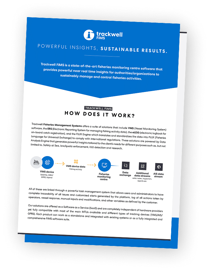
Maritime Situational Awareness (MSA) is the operational capacity of a Fisheries Monitoring Centre (FMC) to understand everything happening within its maritime domain at any given moment. This means not just knowing where vessels are, but understanding what they are doing, whether it complies with regulations, and whether anyone is at risk. For fisheries authorities managing fleets across vast ocean areas, MSA is not a single tool. It is the result of multiple data streams converging into one coherent operational picture: VMS position reports, electronic catch declarations, geofencing alerts, and environmental overlays.
From Vessel Tracking to Full Operational Awareness
When Trackwell VMS layers vessel positions alongside Electronic Reporting System (ERS) catch declarations, FMC operators can immediately cross-reference where a vessel reported fishing against what catch it declared, flagging potential misreporting before a vessel even returns to port. Geofencing alerts notify operators the moment a vessel enters a restricted zone or marine protected area, while licence and permit data integrated directly into the vessel registry ensures that enforcement actions are grounded in complete, verified information. The result is a shift from simply observing vessel movements to actively understanding and responding to them.
This is the difference between observation and oversight.
The Role of FLUX in Multi-Source Data Integration
Achieving this level of awareness across national borders and regional fisheries organizations depends on standardized, reliable data exchange. Trackwell’s FLUX Communication Engine implements the Fisheries Language for Universal Exchange (FLUX) protocol, enabling FMCs to share VMS, ERS, and catch data seamlessly with neighbouring countries, RFMOs such as NEAFC and NAFO, and EU reporting systems. When position data, fishing activity reports, and sales notes are all circulating through a common, validated channel, the gaps that IUU fishing exploits begin to close.

Understanding What Vessel Behaviour Actually Means
Position data alone cannot tell an FMC operator whether a vessel is fishing, struggling, or evading. A vessel holding position in rough seas may be in distress, while the same behaviour near a protected zone in calm waters is a potential compliance flag. By integrating weather and oceanographic data directly into the Trackwell VMS map interface, FMC operators can distinguish between routine fishing patterns and situations that require intervention.
This situational awareness can be further strengthened by integrating emergency signalling directly from vessels. Many fisheries authorities and coast guards operate onboard devices equipped with a dedicated distress or panic function, allowing crew to trigger an immediate alert that is transmitted directly into the VMS environment at the FMC. When combined with real-time vessel tracking and environmental data, such signals provide operators with critical confirmation that a situation is not only anomalous, but urgent—enabling faster, more informed response.
This environmental and operational context is equally critical for Search and Rescue coordination, where real-time ocean conditions layered against historical vessel tracks give authorities a significantly stronger basis for narrowing search areas when response time is everything.
MSA as a System, Not a Feature
Maritime Situational Awareness is not a module you activate. It emerges when VMS, ERS, eLOG, and FLUX work as an integrated system, with each data layer reinforcing the others. Trackwell FiMS was designed precisely around this principle. Position reports, catch declarations, licence status, zone compliance, and environmental intelligence are all unified in a single interface, with automated alerts and full audit trails so that FMC operators always have the complete picture and the evidence they need to act on it.
If you want to see how these data layers come together in practice, read our guide on integrating oceanographic and weather data with VMS.